A new large-scale digital project has dramatically expanded what we know about the transportation network of the Roman Empire. Researchers have reconstructed close to 300,000 kilometers of ancient roads, revealing a system far more extensive than earlier estimates suggested.
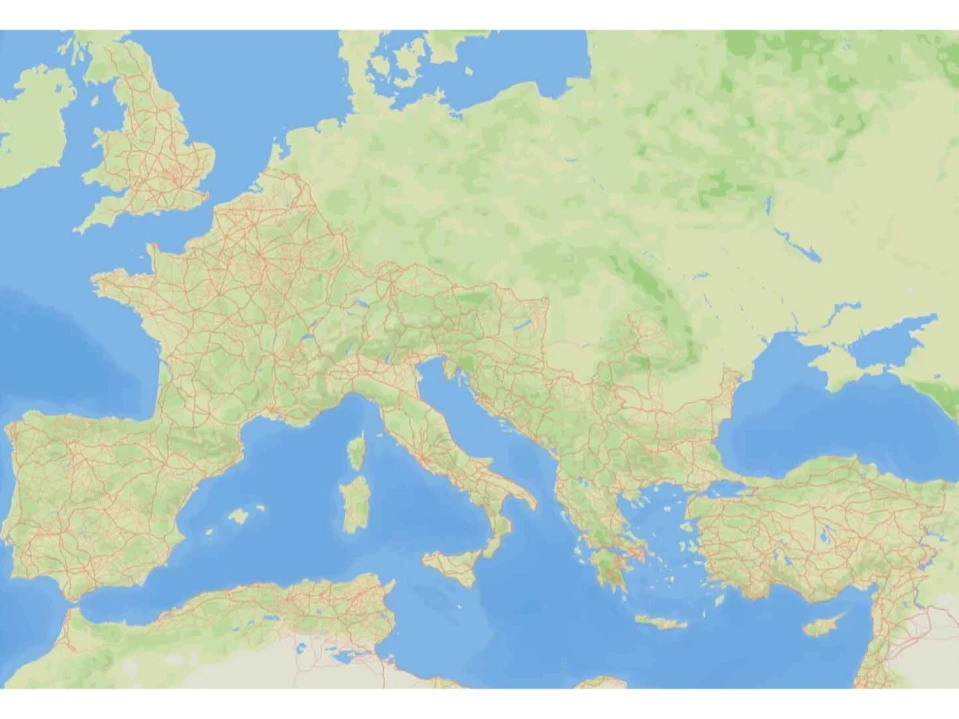
The map focuses on the Empire around 150 CE – a territory stretching across Europe, North Africa, and the Near East – and covers about 4 million square kilometers.
What emerges is a detailed picture of an infrastructure that held the ancient world together. The updated model shows not only the main arteries that connected major cities but also thousands of regional and rural routes that once linked farms, trading posts, garrisons, ports, and administrative centers. Approximately 34.6 % of the routes can be considered primary roads, while the remaining 65.4 % fall into secondary or local categories. This wider network helps explain how people, goods, and information moved with such efficiency across vast distances.
Only a small portion of these paths – roughly 2.7 % – correspond to routes whose exact location is confirmed through archaeological evidence. The majority are reconstructed using a mix of historical records, topographic analysis, and the limited remains visible today. Even with these uncertainties, the project offers the most complete visualization ever attempted, giving new insight into the scale of Roman mobility and the logistics that supported it.
This revised map changes how we imagine everyday life in the Empire. Legions could march faster than previously assumed, merchants had access to a far denser web of commercial routes, and communities at the fringes were more connected than once believed. The infrastructure also played a diplomatic and administrative role, allowing the central government to maintain cohesion across far-flung provinces.
The digital platform behind the project allows researchers to continue refining and updating the map as new data emerges. It also highlights how much is still unknown – many sections have vanished due to erosion, urban development, or shifting landscapes over two millennia. Yet the reconstruction provides a crucial foundation for understanding how Rome built and maintained a system that enabled movement on a scale unmatched until modern times.
In the end, the expanded map offers a new appreciation of the Empire’s reach – a picture of roads stretching almost endlessly, supporting an ancient world that was far more interconnected than we ever realized.